利用Sentinel-1A合成孔径雷达干涉时间序列监测陇东地区地面沉降变形
Surface Deformation Field of Eastern Gansu Province by PS-InSAR Technique with Sentinel-1A
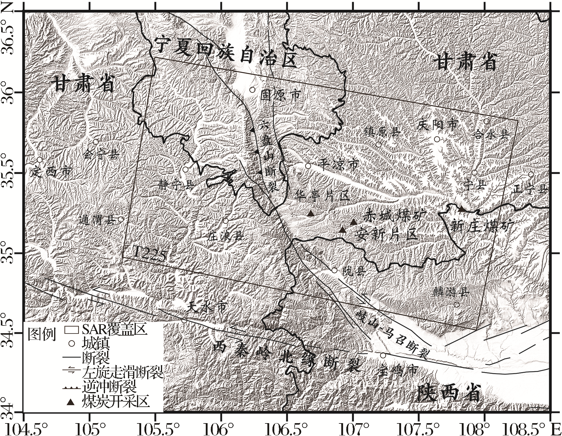
(黑框为影像覆盖区,框内数字为条带号;黑色粗实线为省界;底图为地形图)
利用Sentinel-1A合成孔径雷达干涉时间序列监测陇东地区地面沉降变形 |
| 魏聪敏,葛伟鹏,邵延秀,吴东霖 |
|
Surface Deformation Field of Eastern Gansu Province by PS-InSAR Technique with Sentinel-1A |
| Congmin Wei,Weipeng Ge,Yanxiu Shao,Donglin Wu |
| 图1 陇东研究区域地形地貌概况图 (黑框为影像覆盖区,框内数字为条带号;黑色粗实线为省界;底图为地形图) |
| Fig.1 Landform overview diagram of eastern Gansu province |
|
|