基于多时相Sentinel-2影像的黑河中游玉米种植面积提取研究
Extraction of Maize Planting Area based on Multi-temporal Sentinel-2 Imagery in the Middle Reaches of Heihe River
基于多时相Sentinel-2影像的黑河中游玉米种植面积提取研究 |
| 陈彦四,黄春林,侯金亮,韩伟孝,冯娅娅,李翔华,王静 |
|
Extraction of Maize Planting Area based on Multi-temporal Sentinel-2 Imagery in the Middle Reaches of Heihe River |
| Yansi Chen,Chunlin Huang,Jinliang Hou,Weixiao Han,Yaya Feng,Xianghua Li,Jing Wang |
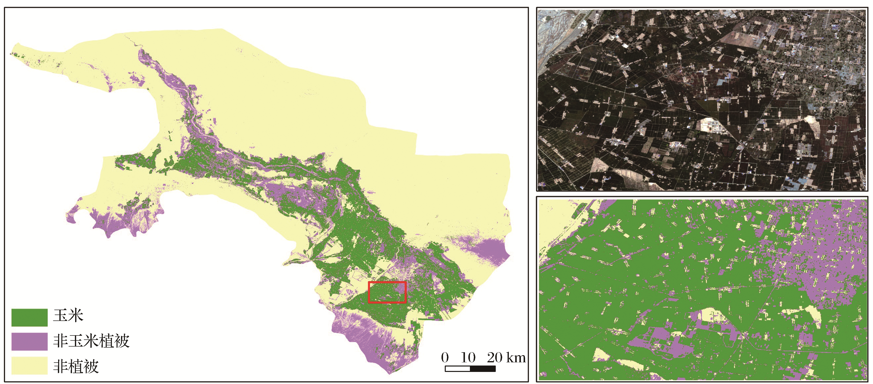
| 图3 研究区玉米种植面积分布图(左图)以及局部放大Sentinel-2 RGB影像(右上)与分类结果比较(右下) |
| Fig.3 Distribution map of maize planting area in the middle reaches of Heihe River (left) and comparison of local images(top right) and classification results(bottom right) |
|
|