基于无人机激光雷达的森林冠层高度分析
Analysis of Forest Canopy Height based on UAV LiDAR: A Case Study of Picea crassifolia in the East and Central of the Qilian Mountains
基于无人机激光雷达的森林冠层高度分析 |
| 边瑞,年雁云,勾晓华,贺泽宇,田行宜 |
|
Analysis of Forest Canopy Height based on UAV LiDAR: A Case Study of Picea crassifolia in the East and Central of the Qilian Mountains |
| Rui Bian,Yanyun Nian,Xiaohua Gou,Zeyu He,Xingyi Tian |
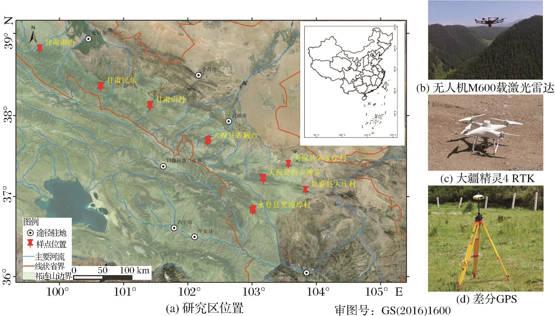
| 图1 研究区样地分布及使用仪器 |
| Fig.1 Spatial distribution of field measured sample plots and instrumentation |
|
|