| 类型 | 数据 | 分辨率 | 来源 |
|---|---|---|---|
| NDVI数据 | MODIS-NDVI数据 | 250 m | https:∥ladsweb.modaps.eosdis.nasa.gov/ |
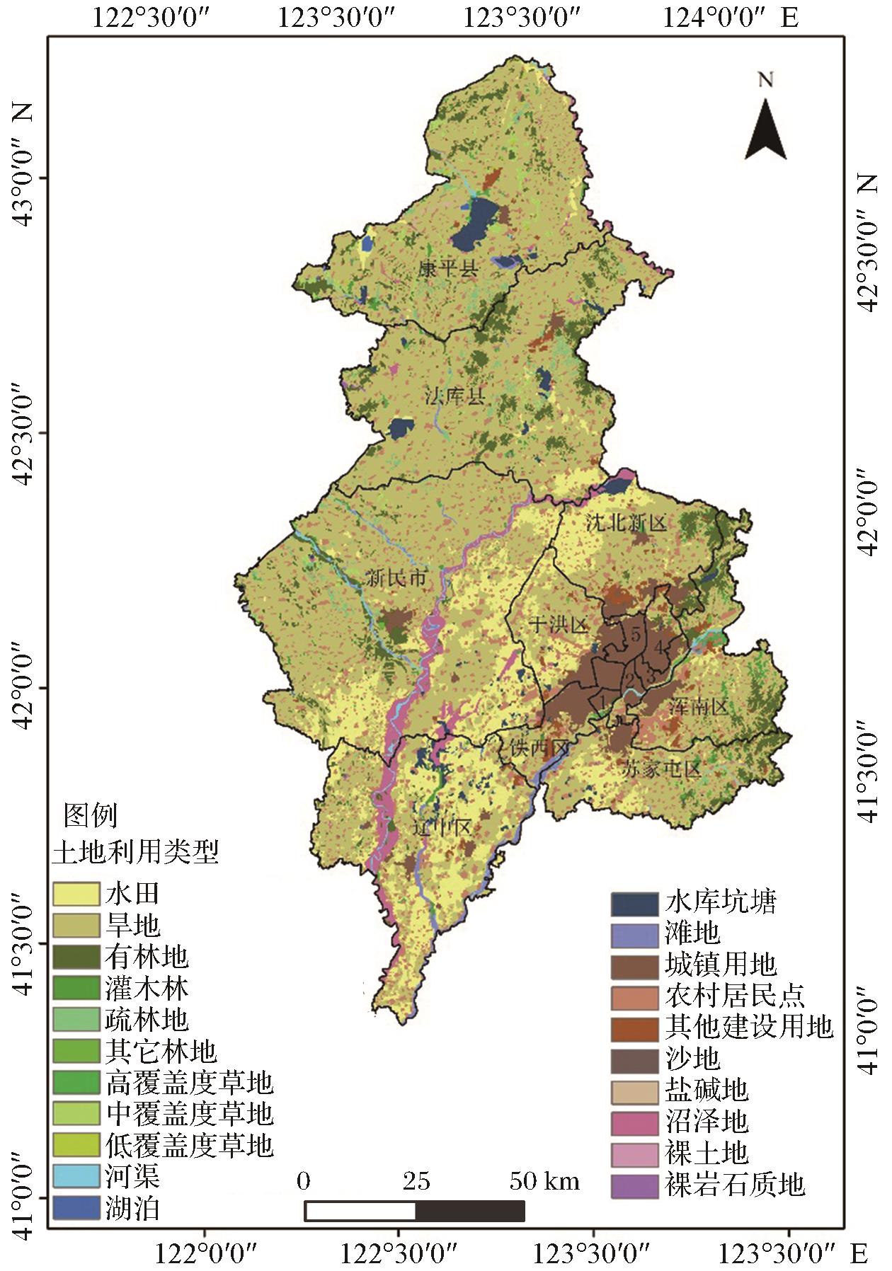
| 土地利用数据 | 土地利用数据(2010年、2015年和2020年) | 30 m | http:∥www.resdc.cn |
| 自然环境数据 | 年均降水量(2015年) | 1 km | |
| 年均气温(2015年) | 1 km | ||
| 高程 | 30 m | ||
| 坡度 | 30 m | ||
| 社会经济数据 | GDP | 1 km | |
| 人口密度 | 1 km | ||
| 夜间灯光 | 0.004度 | ||
| 基础地理数据 | 像元到各级道路距离(一级、二级、三级) | 30 m | https:∥www.webmap.cn |
| 像元到铁路距离 | 30 m | ||
| 像元到河流距离 | 30 m |