 PDF(11459 KB)

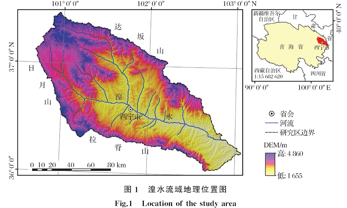
复杂地形区土地利用/土地覆被分类机器学习方法比较研究
谷晓天, 高小红, 马慧娟, 史飞飞, 刘雪梅, 曹晓敏
遥感技术与应用 ›› 2019, Vol. 34 ›› Issue (1) : 57-67.
PDF(11459 KB)

 PDF(11459 KB)
复杂地形区土地利用/土地覆被分类机器学习方法比较研究
 ,
{{javascript:window.custom_author_cn_index++;}}
,
{{javascript:window.custom_author_cn_index++;}}
Comparison of Machine Learning Methods for Land Use/Land Cover Classification in the Complicated Terrain Regions
,
{{javascript:window.custom_author_en_index++;}}
| {{custom_ref.label}} |
{{custom_citation.content}}
{{custom_citation.annotation}}
|
 甘公网安备 62010202000685号
/
| 〈 |
|
〉 |


